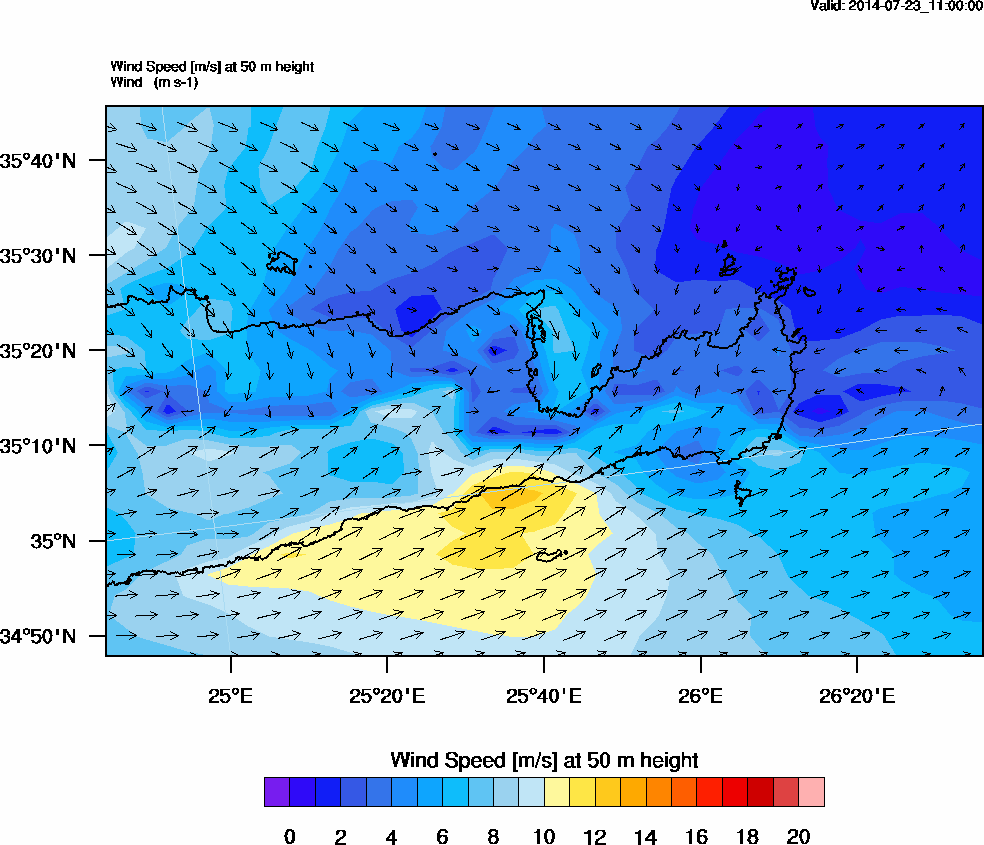
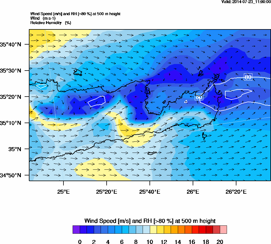
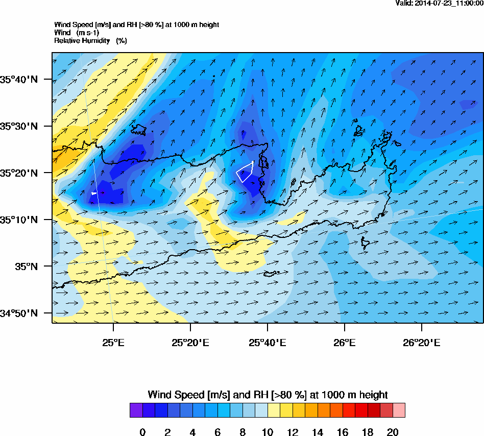
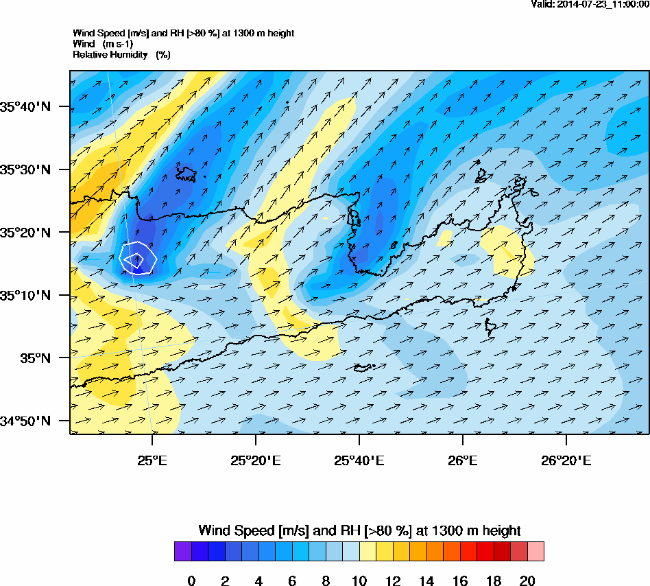
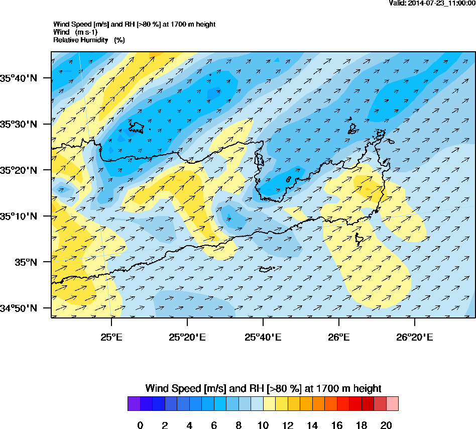
WRF WIND
Automatically uploaded on 2014-07-22 01:31:06.
| Start time | July 22, 2014, 11 a.m. |
| Stop time | July 22, 2014, noon |
| Duration | 1 hour |
| Instrument | Weather Research and Forecasting - WRF |
Related graphs
Recent activity
News
- ITaRS participation in CHARADMExp (Jul 10th)
- UAV measurements (video) (Jul 1st)
- Cyprus Institute UAVs are heading to Sitia's airport (Jun 26th)
- Saharan dust is approaching (Jun 24th)
- Getting prepared for UAV flights over Crete (Jun 23rd)
Uploaded data
- HALO realtime (Sep 9th)
- FLEXPART (Jul 31st)
- WRF WIND (Jul 31st)
- WRF WIND (Jul 31st)
- WRF WIND (Jul 31st)
